
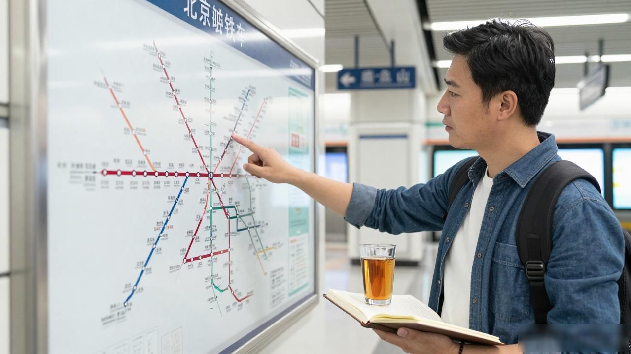
Navigating the capital’s underground artery can feel like solving a complex puzzle at first glance. The sheer density of lines crisscrossing beneath the historic streets often overwhelms tourists who expect a simple grid. However, mastering this visual guide is the key to unlocking efficient travel across one of the world’s most populous cities. Understanding the layout transforms a daunting task into a straightforward logistical exercise.
What does the Beijing subway line map look like

The network has expanded dramatically over the last decade, now boasting over twenty operational lines. Each line is assigned a distinct color to help passengers identify routes quickly at a glance. You will notice that newer lines often feature brighter, more neon hues compared to the traditional primary colors of the older systems. This color-coding system is universal across all stations and on digital applications alike.
Interchanges between lines are marked with specific icons, usually showing two arrows swapping places or overlapping circles. These transfer points are crucial for reaching distant parts of the city without exiting the paid area. Major hubs like Xizhimen and Guomao serve as massive arteries where multiple lines converge, creating high-traffic zones during rush hours. Identifying these nodes early in your journey planning saves significant time.
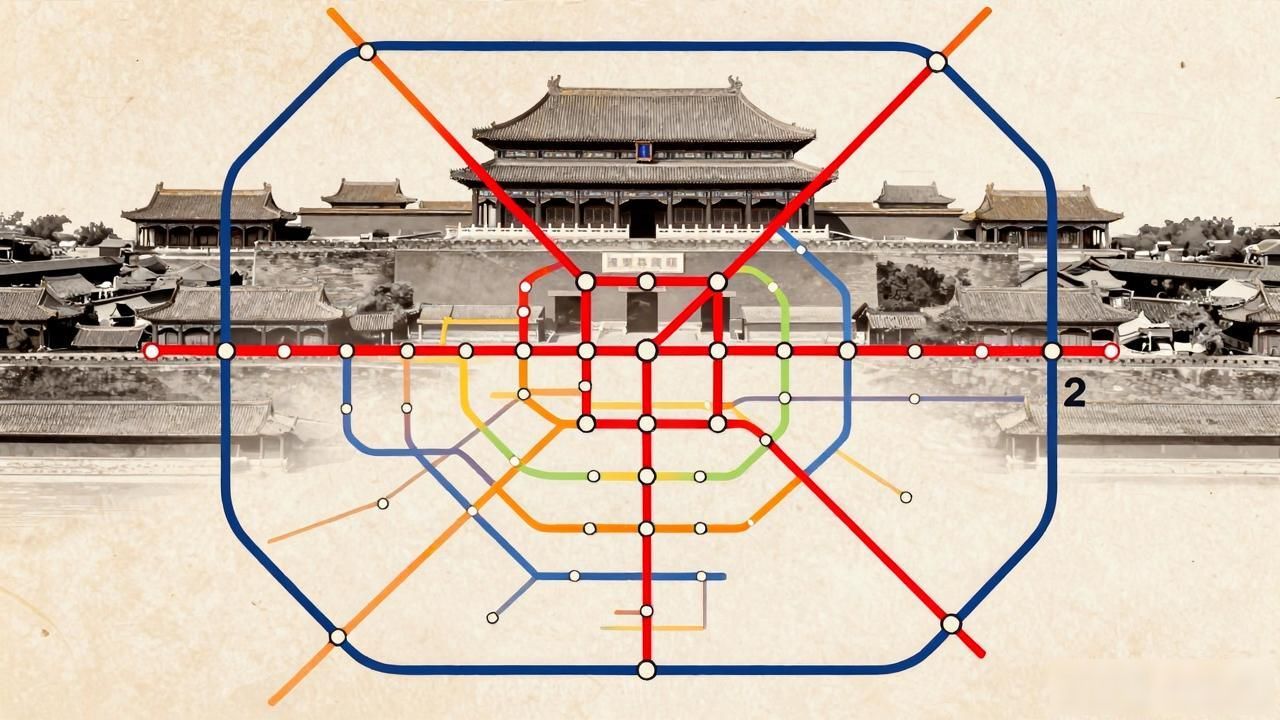
The map also highlights the Loop Lines, specifically Line 2 which circles the old city center near the Forbidden City. Recognizing the difference between radial lines shooting outward from the center and concentric loops helps orient your direction. Line 1 and Line 8 run north-south through the heart of Beijing, connecting major landmarks such as Tiananmen Square and Olympic Park. This central axis is often the busiest part of the entire system.
How do I use the Beijing subway line map efficiently
Planning a route starts with locating your origin and destination markers on the diagram. It is wise to check if a direct line exists or if a single transfer is necessary. Avoid peak hours between 7:30 AM and 9:30 AM and again from 5:30 PM to 7:30 PM if possible. The trains become extremely crowded, making navigation difficult even with a clear map in hand.
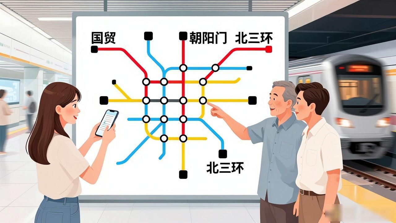
Download a offline-capable transit app before arrival,as English signage is standard but real-time updates are vital. Paper maps are still available at station entrances, though they may lack the latest line extensions. Station names are bilingual, with Pinyin and English clearly displayed above ticket gates. Look for landmarks nearby mentioned on the map to confirm you have exited to the correct street level.
Keep an eye on the line endings to avoid missing your stop on long radial segments. Some suburban lines extend far beyond the main city boundaries, taking longer than expected. Always validate the line number and direction arrow before boarding. The system is clean, safe, and remarkably punctual once you grasp its rhythmic flow.