
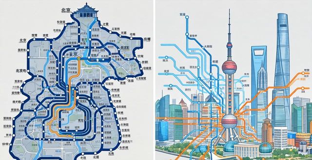
Navigating the massive public transit systems of Beijing and Shanghai can feel overwhelming at first, but a good subway map turns chaos into clarity. Both cities boast some of the world’s longest and busiest metro networks, with over 400 stations in Beijing and nearly 500 in Shanghai. For foreign travelers, understanding how to read these maps—whether on your phone or a printed card—is the key to exploring temples, markets, and skyscrapers without stress. This guide breaks down exactly what you need to know about subway maps in both cities, from where to find them to how to decode their symbols.
Where to find a reliable subway map

Most tourists instinctively reach for Google Maps, but it is not always up to date in China. Instead, download apps like Baidu Maps or Apple Maps, which integrate official subway data. Both offer English interfaces and live route planning. For a no‑internet option, every station has a large color‑coded map near the ticket machines and on each platform. You can also grab a pocket‑sized paper map at airport information desks or major stations like Beijing’s Dongzhimen or Shanghai’s People’s Square. Paper maps are handy when your phone battery dies, but remember that new lines open often—always check the print date.
How to read line colors and symbols
Beijing and Shanghai use distinct line colors, but the logic is identical: each metro line has a unique color and number. On the map, stations are circles; transfer stations are larger circles or have white dots inside. Look for the little wheelchair icon—it marks accessible exits and elevators. Unlike some Western cities, both networks show station names in Chinese and pinyin (the romanized pronunciation). Pay special attention to the direction arrows on the map: they indicate the final station of each line, which is how you know you are boarding the right train. For example, on Beijing’s Line 2, you will see “鼓楼大街 → 建国门” with pinyin below.
Navigating transfers and fare zones
Neither city uses a complex zone system like London or New York. Instead, fares are distance‑based: Beijing charges 3 to 10 RMB per ride, Shanghai 3 to 9 RMB. Your subway map will show a small fare table at the bottom, but the easiest method is to tap your contactless bank card or use Alipay’s transit code. For transfers, the map highlights stations where two or more lines cross. A common mistake is thinking you must exit and re‑enter—you do not. Just follow the “换乘” (transfer) signs inside the station. However, some transfers involve long walks (over 10 minutes at Shanghai’s Longyang Road),so check the map’s dotted walking paths between lines.
Three mistakes foreigners make with these maps
First, assuming every station name is unique. Both cities have “East” and “West” stations on different lines—for instance, Beijing has both “Guomao” and “Dawanglu” near each other. Always double‑check the line number. Second, ignoring the last train times. The subway map rarely shows this, but most lines stop around 11:00 PM. Third, using the map for surface streets. Subway maps distort geography to make lines legible; a station that looks two inches away might be a 30‑minute walk. For short trips, switch to a standard street map.
Finally, a question for you: Have you ever been completely lost in a foreign subway system, and what trick helped you find your way again? Share your story in the comments—and if this guide saved you from a wrong turn, hit like and share it with a fellow traveler.