
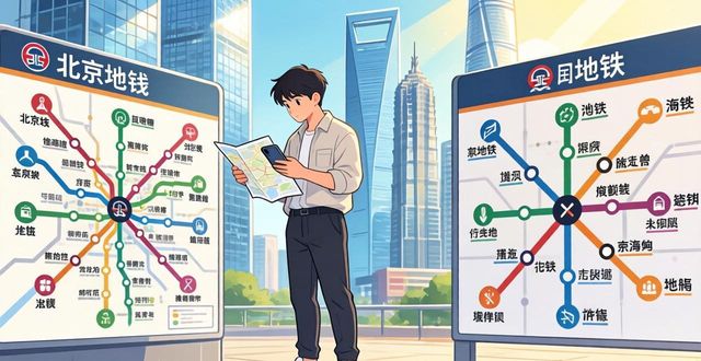
Navigating the massive subway systems of Beijing and Shanghai can feel overwhelming for first-time visitors, but understanding their subway maps is the key to unlocking these cities with confidence. Both systems are among the world’s largest, yet they are surprisingly logical once you grasp a few basic patterns. This guide breaks down exactly how to read the maps, plan your routes, and avoid common tourist mistakes.
What do the colors and letters mean on Beijing and Shanghai subway maps

Each subway line in both cities is assigned a unique color and a number or name. The color runs continuously across the entire line, making it easy to follow your route even if you don’t read Chinese. The letters you see near station names indicate the exit number – for example, Exit A or Exit B. Always check which exit you need before leaving the train, because some underground stations are huge and the wrong exit can put you a ten-minute walk away from your destination.
How to find the fastest transfer station
Transfer stations are marked on the map with a white or hollow circle inside a colored band. Beijing and Shanghai both have express lines and local lines, so look closely: some stations allow cross-platform transfers, meaning you just walk across the platform. Others require going upstairs or downstairs. On the digital map apps like Baidu Maps or Apple Maps, tap any transfer station to see the walking time between platforms. In general, stations with three or more lines (like People’s Square in Shanghai or Xidan in Beijing) take longer to navigate.
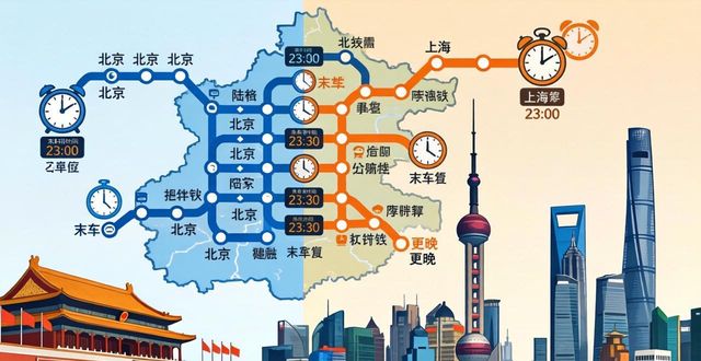
Why the last train times vary by station
Unlike many Western metros, Beijing and Shanghai subway lines do not have a uniform last train time across all stations. The final train from the terminus might leave at 10:30 PM, but the same train will reach a station in the middle of the line around 11:15 PM. Always check the specific last train time for your boarding station – these times are posted near each entrance and on the digital map. Missing the last train can leave you with expensive taxi rides or limited night buses,so plan your return trip early.
Which subway map app actually works for foreigners
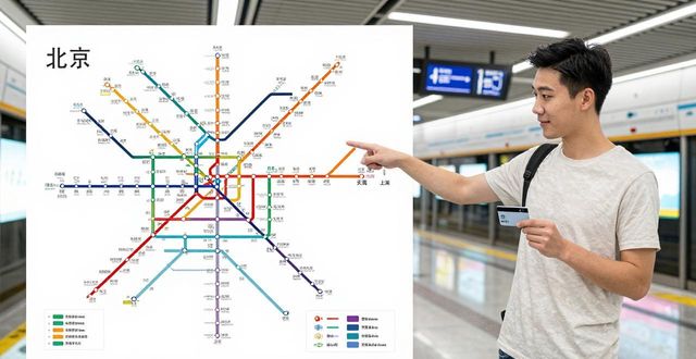
The official subway maps on Beijing Subway and Shanghai Metro websites are accurate but not always user-friendly. For real-time navigation, use Apple Maps (it works fully in English and shows exit numbers) or MetroMan, an app designed specifically for both cities. Google Maps has limited transit data in China. The key feature to look for is the ability to see which carriage is closest to your desired exit – this saves minutes of walking in huge stations like Shanghai’s People’s Square or Beijing’s Dongzhimen.
Have you ever gotten lost trying to find the right exit in a foreign subway system, and what’s your best tip for reading unfamiliar maps? Share your story in the comments below – and if this guide helped you, give it a like and pass it along to a fellow traveler.