
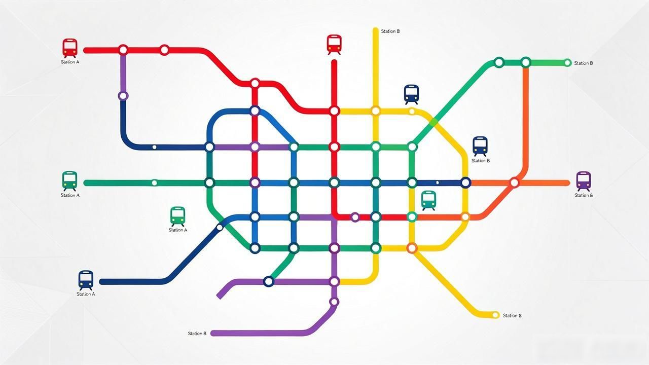
Navigating the vast network of China’s transit systems can feel overwhelming at first glance. For travelers and expats alike, understanding these maps is not just about finding a route; it is about mastering a unique visual language that prioritizes clarity over geographical accuracy. The core challenge lies in distinguishing between different modes of transport,such as subways, buses, and high-speed rail, each represented by distinct symbols and color codes.
Most visitors assume that subway maps follow strict geographic scaling, but this is rarely the case. In reality, these diagrams are schematic, designed to show connectivity rather than precise location. Stations are often spaced evenly to make connections clear, meaning a short physical distance might look like a long stretch on paper. Recognizing this abstraction is key to reducing anxiety when planning journeys in major hubs like Beijing, Shanghai, or Guangzhou.
What Do Subway Lines Mean

Subway networks are the backbone of urban mobility in Chinese cities. Each line is assigned a specific color, which remains consistent across stations, signs, and train interiors. This color-coding system allows users to identify their direction quickly without reading extensive text. For instance, Line 1 in Beijing is red, while Line 2 is green. Memorizing these colors significantly speeds up decision-making during peak hours.
Interchange stations are critical nodes where multiple lines meet. These stations are often marked with overlapping circles or special icons indicating the transfer points. Understanding how to navigate these complex junctions is essential for efficient travel. Some transfers require exiting one platform and climbing stairs to another, while others offer direct underground walkways. Paying attention to directional arrows helps avoid walking in the wrong direction within large interchange hubs.
How to Find Bus Routes
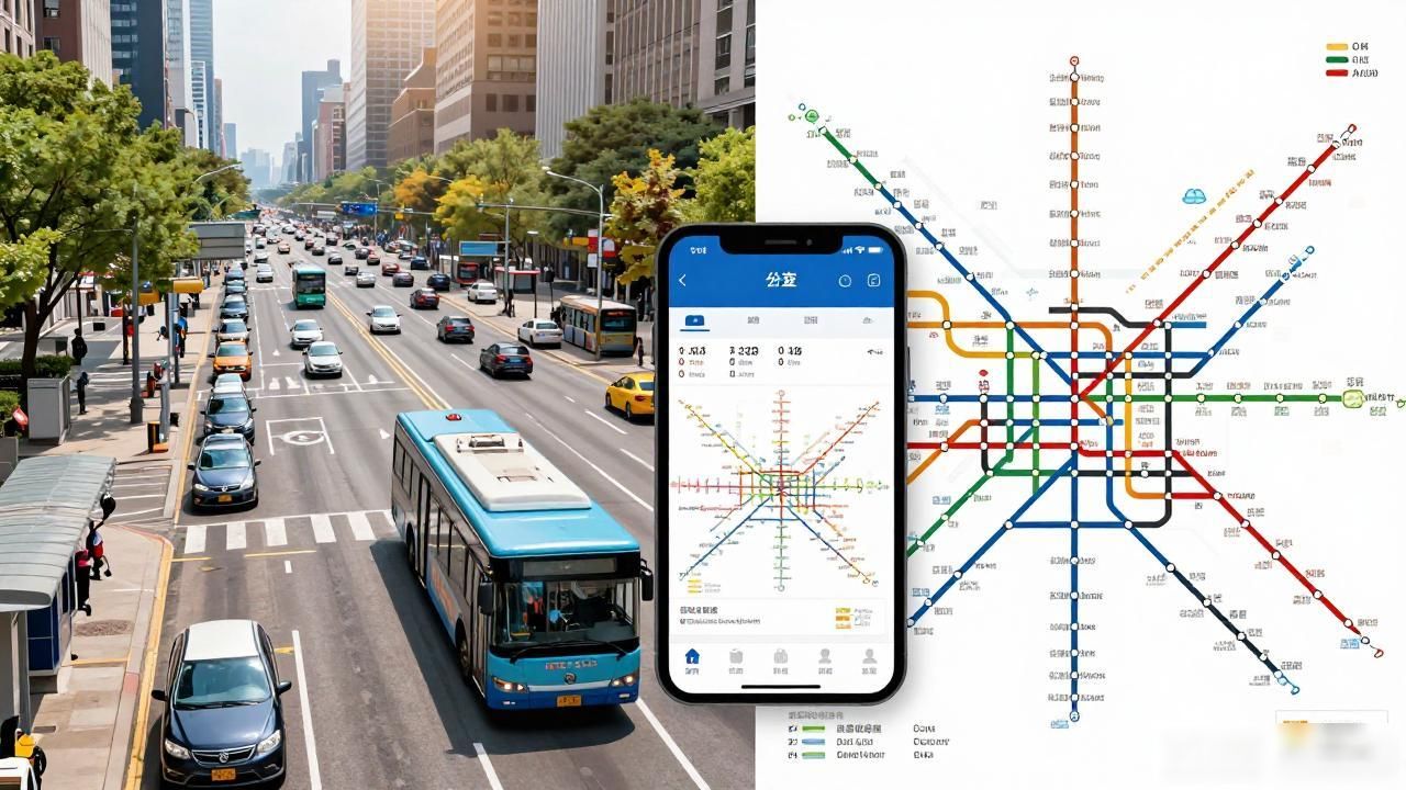
Bus maps present a different set of challenges compared to subways due to their extensive coverage and frequent changes. Unlike fixed subway lines, bus routes adapt to traffic conditions and city expansion. Most cities provide digital apps that integrate real-time bus tracking, which is far more reliable than static paper maps. However, knowing how to read basic route numbers and stops remains useful for offline scenarios.
Bus stops are typically numbered, and routes are indicated by colored lines on stop signs. The number usually corresponds to the line, making it easy to match the sign with the map. It is important to note that some routes have suffixes like “K” or “D,” indicating express or air-conditioned services. These distinctions affect fare prices and travel speed, so checking the vehicle type before boarding saves time and money.
Where to Get Reliable Maps
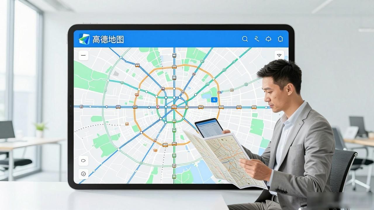
Digital solutions have largely replaced traditional paper maps for most users. Official transit apps and third-party platforms like Baidu Maps or Amap offer comprehensive data, including real-time arrival predictions and overcrowding levels. These tools support English interfaces in many major cities, bridging the language gap for foreign users. Downloading offline versions of these apps ensures functionality even without mobile data.
For those who prefer physical copies, visitor centers at major train stations and airports often distribute free transit guides. These brochures highlight key tourist spots connected by public transport, providing a curated experience for newcomers. While less detailed than digital maps, they serve as excellent starting points for initial orientation. Keeping a printed copy as a backup is a prudent strategy for emergencies.
Using these resources effectively transforms the complexity of China’s transit system into a manageable tool. By focusing on color codes, interchange strategies, and digital integration, users can navigate with confidence. The key is to remain adaptable, combining visual cues with modern technology for seamless travel experiences.