
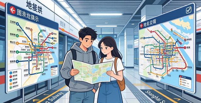
Beijing and Shanghai boast two of the world’s largest and most efficient subway systems, but their maps can feel overwhelming at first glance. Understanding these maps is the key to moving confidently through these sprawling cities, whether you are a first-time tourist or a business traveler. This guide breaks down exactly how to read, find, and use the subway maps of Beijing and Shanghai so you can ride like a local from day one.
Where can I find an official subway map of Beijing or Shanghai

The easiest place to find an official subway map is inside any station – they are posted on walls, above ticket machines, and inside train carriages. For digital access, download the official metro apps like “Yitongxing” for Beijing or “Metro Daduhui” for Shanghai, which include interactive maps. However, many foreign travelers prefer third-party apps like Metroman or ExploreMetro because they work offline and show English station names clearly. You can also pick up a free paper map at most station information desks, though English versions are less common outside major hubs.
How to read station names and transfer signs on Chinese subway maps
Every station name on Beijing and Shanghai subway maps is written in both Chinese characters and pinyin (Romanized spelling),which is a huge help for non-native speakers. Transfer stations are marked with a special icon – usually a white circle inside a colored square – and the connecting line’s number is clearly shown. Pay close attention to the exit signs: they use letters (A, B, C, D) combined with numbers (e.g., A1, A2). On digital maps, you can tap any station to see which exits lead to landmarks, hotels, or bus stops. The key is to always match the pinyin pronunciation with the announcement inside the train.
What do the different colors and symbols mean on Beijing and Shanghai subway maps
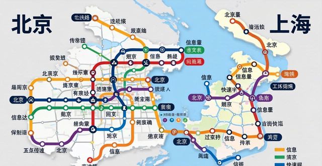
Each subway line in Beijing and Shanghai has a unique color and a number, making it easy to follow your route without reading Chinese. For example, Beijing’s Line 2 is blue and forms a loop around the city center, while Shanghai’s Line 2 is light green and connects Pudong Airport to Hongqiao. Symbols to watch for include a small wheelchair for accessible stations, a plane for airport connections, and a train icon for intercity rail hubs. Unlike Western maps, Chinese subway maps often simplify geography – distances between stations are not to scale. So never assume two stations close on the map are walkable in real life.
Pro tips for using digital subway maps in China without internet

Since Google Maps and many international apps are unreliable in China, prepare offline subway maps before you arrive. Both Apple Maps and the local app Baidu Maps allow you to download entire subway networks for offline use. Another trick: take screenshots of the full subway map from the official app or a trusted website like TravelChinaGuide. Save them in a dedicated album on your phone for quick access. If you have a local SIM card, Alipay’s built-in “Transport” section has live maps and route planners that work smoothly. Remember to also screenshot the station layout of major transfer hubs like Beijing West Railway Station or Shanghai People’s Square – they can save you 20 minutes of wandering.
Have you ever been completely lost while using a subway map in a foreign city? Share your funniest or most frustrating story in the comments below – and don’t forget to save this guide for your China trip