
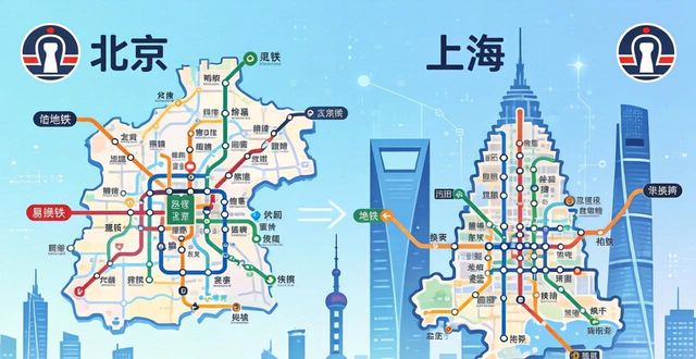
Navigating the subway systems in Beijing and Shanghai can initially seem like a daunting task, as these sprawling urban centers house some of the world’s largest and most efficient metro networks. Serving millions of passengers daily, these systems are a vital part of the cities’ infrastructure. However,with a clear understanding of their maps, you’ll soon find yourself traveling like a seasoned local. This guide is designed to break down everything you need to know, from reading the maps to avoiding common tourist mistakes, helping you save time, money, and stress.

Whether you’re a first-time visitor eager to explore or an expat settling in, mastering these subway maps is the key to unlocking the true rhythm of these megacities. It allows you to seamlessly navigate through the bustling streets, reaching your desired destinations with ease. By familiarizing yourself with the maps, you’ll be able to plan your routes efficiently, avoiding unnecessary detours and delays. So, take the time to study the subway maps, and embark on a smooth and stress-free journey through the vibrant cities of Beijing and Shanghai.
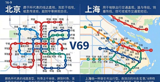
What do the colors and numbers mean on the Beijing subway map
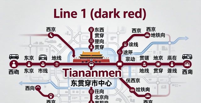
Each subway line in Beijing is identified by a number and a distinct color. Line 1 (dark red) runs east-west through the heart of the city, passing Tiananmen