
China‘s public transportation maps look deceptively simple — a tangle of colored lines, station names in two scripts, a handful of small icons — but they hide a layer of convention that trips up most first-time visitors. Getting your bearings on a packed subway in Shanghai or a sprawling bus network in Chengdu comes down to reading these maps the way a local commuter does,not just skimming for your destination.
Where to Get China Public Transportation Maps

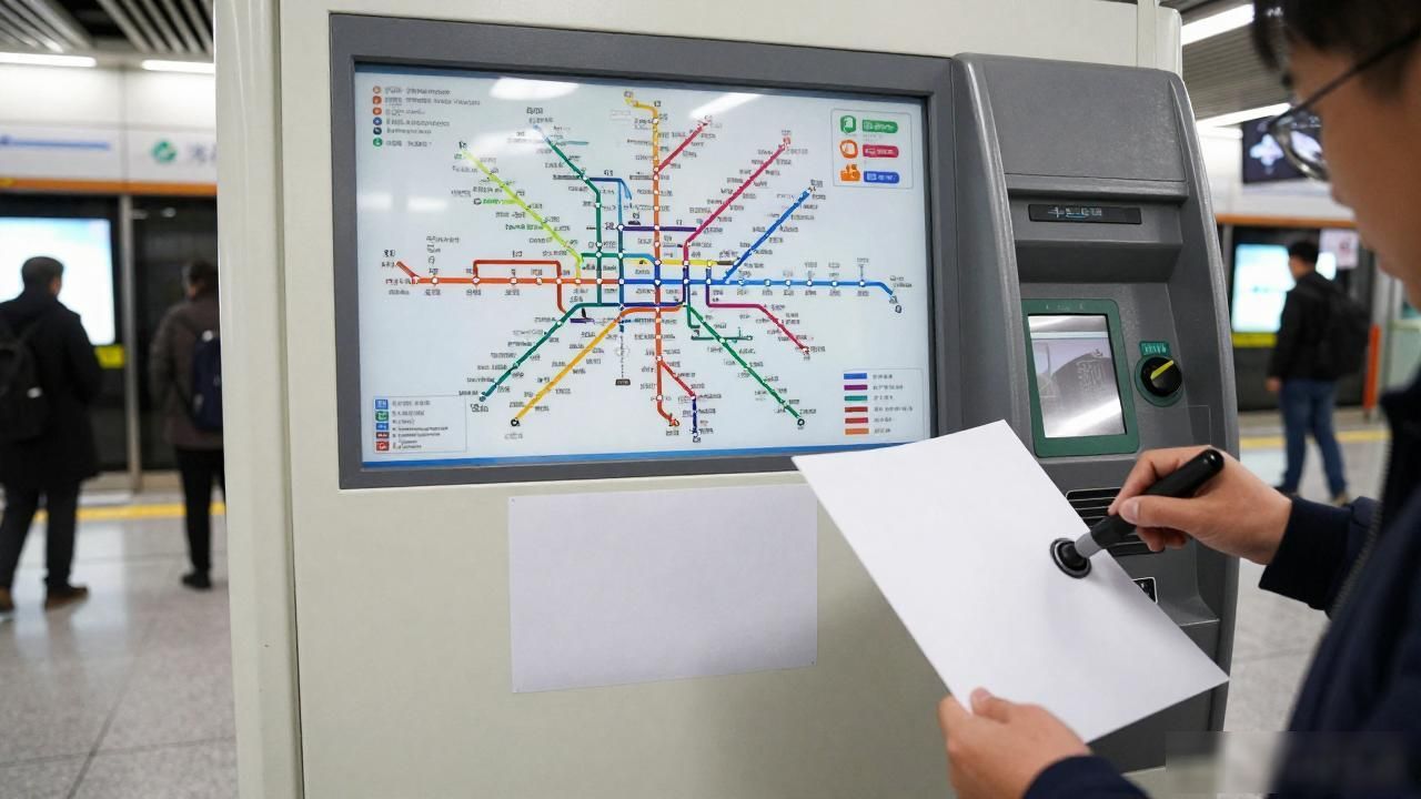
The easiest source is inside every major transit hub. Hangzhou’s Line 1 station, for example, has a full-system map printed on vinyl and taped to the wall near the ticket machines — free to trace onto paper. Most cities also rely on apps like Baidu Maps or Amap (Gaode), where you can zoom into any corridor and watch live bus positions move in real time, something a printed sheet can never do.
Hotels and airport information desks still hand out glossy fold-out sheets, and those tend to be far more legible than the wall-mounted originals. In smaller cities like Xi’an or Kunming, grab one at the taxi kiosk outside the main railway station; the drivers there will usually point you to the stand that stocks them.
How to Read China Public Transportation Maps
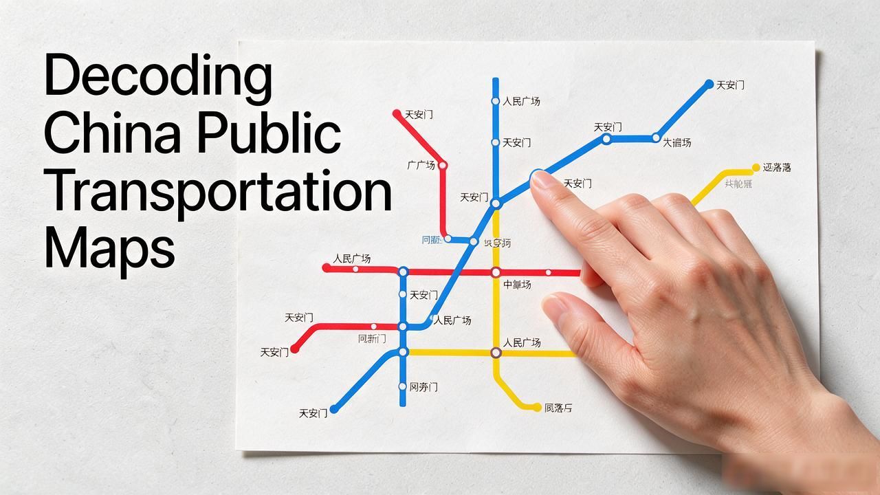
The single most useful trick is understanding transfer stations. On a metro map they show up as a thick white circle where two colored lines cross, with the station name printed right beside it. Missing that circle means you will keep walking past the exit you actually need. Line numbering also runs from the terminus outward, so “Station 3” on Line 2 is always the third stop counting from the line’s starting end — never alphabetical, never random.
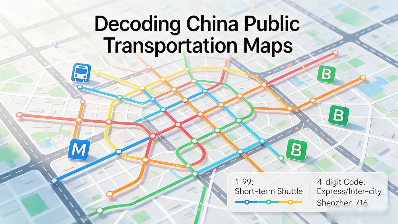
Bus maps get messier fast. Route numbers encode direction and distance: low numbers in the 1-to-99 range usually mean short local shuttle runs, while four-digit codes like 716 in Shenzhen signal express or intercity services. Watch for the small “M” icon marking metro transfers and the “B” symbol for bus-only stops. English labels sit in smaller type beneath the Chinese characters, so scan for the pinyin you recognize rather than trying to decode the hanzi above it.
You do not need to memorize a thing. A folded paper map in your jacket pocket, the Amap app open on your phone, and the simple habit of double-checking those transfer circles before you step off will carry you through almost any Chinese city without a single awkward “sorry, which direction is…” moment at a crowded platform.